The AllTrails app/website, where would-be hikers can find their next destination and all the information they need to get there and have a successful trip, has a list of the top-rated hikes in any given area. These hikes can be further refined by difficulty, length, suitability and more.
In British Columbia, the top three moderately rated hikes that have been given the best ratings by users are the Saint Marks Summit in Cypress Provincial Park, Norvan Falls in Lynn Headwaters Regional Park and Dog Mountain Trail in Mount Seymour Provincial Park.
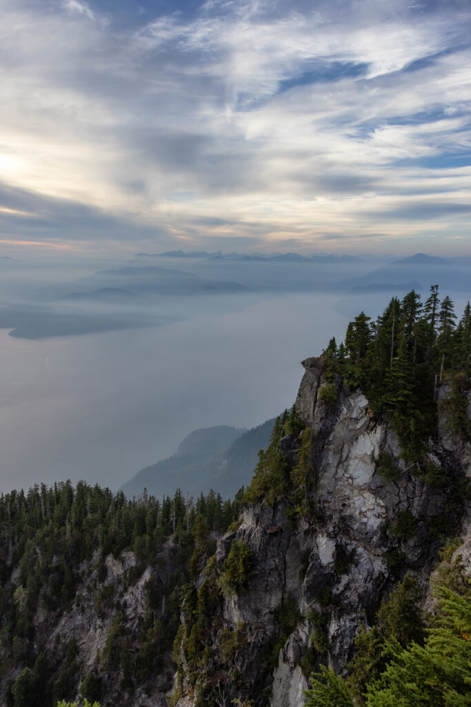
Saint Marks Summit
Cypress Provincial Park, near Strachan Creek
4.6 stars, 3,414 reviews
This out-and-back trail is about 10 kilometres long, with 570 metres of gradual elevation gain and it should take the average hiker just under four hours to complete. The route follows the Howe Sound Crest Trail, with the first half being mostly gravel paths, which then transition to softer soil and rocks on the way up. The trail is popular with hikers and well maintained. And the view from the summit is spectacular.
Summer and early fall are the ideal seasons for completing this hike but be sure to pack bug spray – many users report buggy conditions.
The GPS co-ordinates for the start/end of the hike are as follows: 49.39586, -123.20397.
 Saint Marks Summit
Photo by iStock
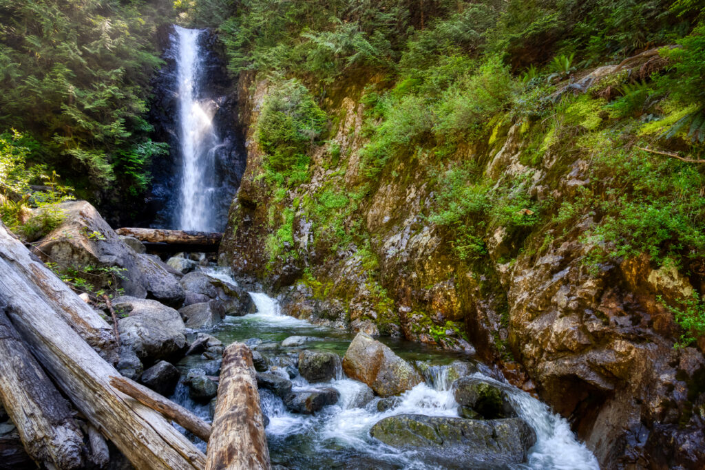
Norvan Falls
Lynn Headwaters Regional Park, near North Vancouver
4.5 stars, 2,889 reviews
Another out-and-back trail, this one is about 13.8 kilometres long with 345 metres of elevation gain. It should take the average hiker just over three-and-a-half hours to complete. This popular trail mostly follows along a river and hikers will experience a variety of terrain and changing scenery along the way. The trail is well marked and mostly flat, with one area of incline and a few switchbacks before coming to the falls. Many users recommend crossing the creek at the top and moving along the left-hand side to get to the pool.
The GPS co-ordinates for the start/end of the hike are as follows: 49.35968, -123.02783.
 Norvan Falls
Photo by iStock
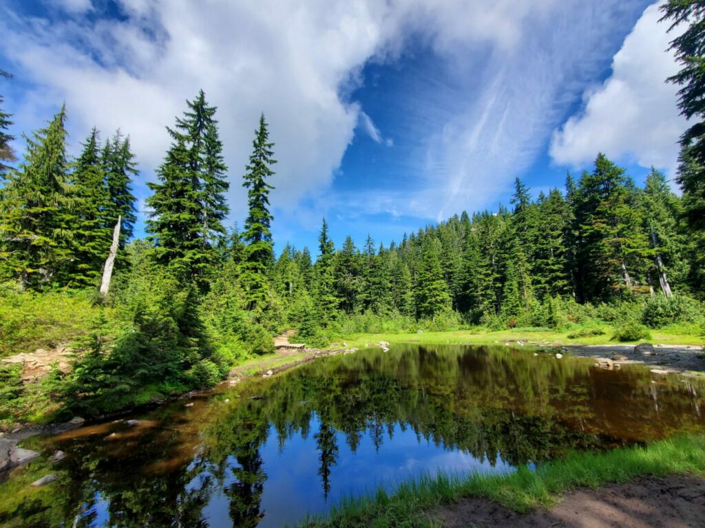
Dog Mountain Trail
Mount Seymour Provincial Park, near Woodlands
4.5 stars, 3,589 reviews
The shortest hike on this list, Dog Mountain Trail stretches 4.8 kilometres and has an elevation gain of 157 metres. This is an out-and-back trail and should take the average hiker about an hour and a half to complete.
This popular trail is well marked and well maintained and it looks out over North Vancouver. The trail crosses First Lake and several creeks along the way, so be sure to wear the proper footwear and bring bug spray.
The GPS co-ordinates for the start/end of the hike are as follows: 49.36738, -122.94905.
 Dog Mountain Trail
Photo by K. Wong, AllTrails
