Easy to get to and easy to explore, make your next adventure destination Pender Island!
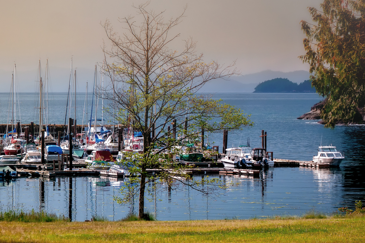 Photo by iStock
Getting There
Separated into north and south Pender Island, known as the Penders, there are various ways to get here. BC Ferries depart from Vancouver (Tsawwassen) and Victoria (Swartz Bay) to Pender Island a few times a day. You can also make your way over via float plane or water taxi, or even on a personal boat.
Amenities
Home to about 2,200 permanent residents, Pender Island, both north and south, are well equipped for travellers. You’ll find lodgings here, including cottage rentals, bed and breakfasts, resorts and inns. There is one gas station and a few grocery stores, as well as a farmers’ market that runs in the summer and fall months. There are two marinas on the Penders – Poets Cove Marina and Otter Bay Marina. You’ll also find bikes, scooters and kayaks available for rent. Nothing on the Penders is open 24/7, so plan accordingly.
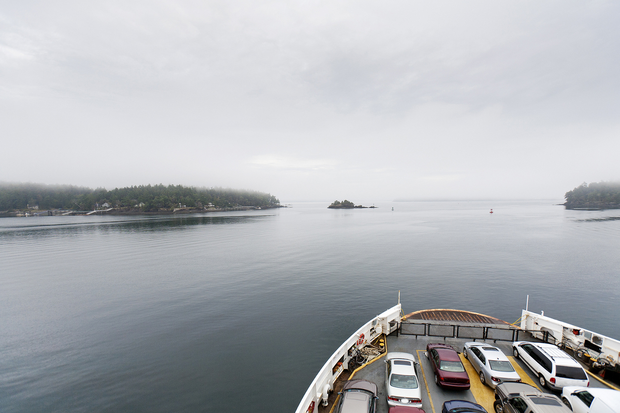 Photo by iStock
Hikes
Mount Menzies
Rating: Easy
Length: 1.8 kilometres, out and back
Elevation gain: 64 metres
Notes: Offering stunning views, this out-and-back trail is perfect for everyone. Even your four-legged friends! When you get to the trailhead, previous users say you need to make sure you take the trail to the left and, as it happens, it’s unmarked at the beginning. Bu this is where you’ll find the best views.
Trailhead:48.78794, -123.25676
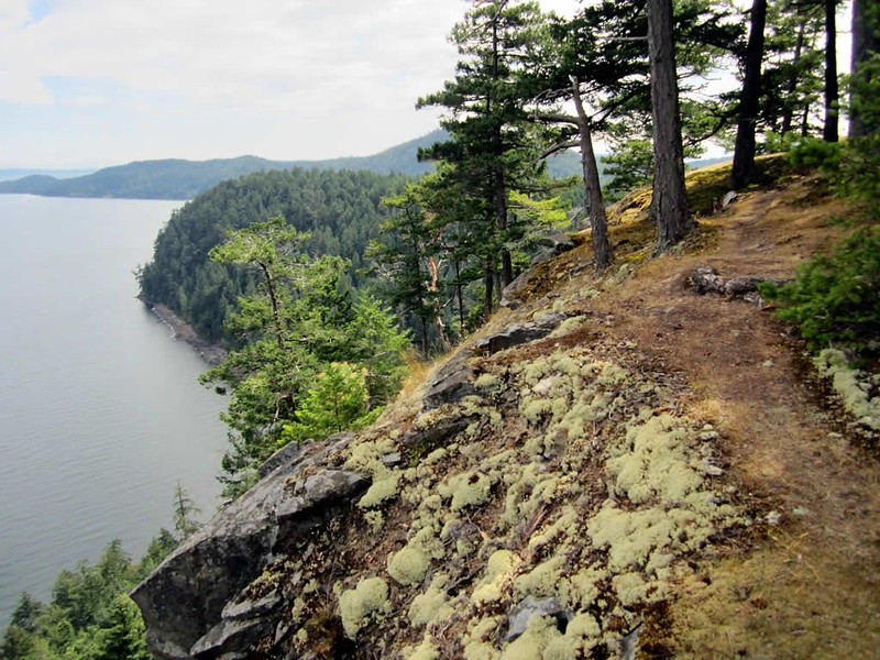 Mount Menzies
By David Stanley, Flickr
Heart Trail
Rating: Easy
Length:1.6 kilometres, out and back
Elevation gain: 39 metres
Notes: A beautiful walk through the woods, this trail won’t disappoint. Heart Trail is great for all skill levels, and dogs are welcome if they’re kept on a leash.
Trailhead: 48.76645, -123.27494
Roe Lake Loop
Rating: Easy
Length: 2.7 kilometres, loop
Elevation gain: 84 metres
Notes: Another beautiful walk through the woods, this trail will take you around Roe Lake and back to the beginning of your hike. This trail is great for all hikers, young and old.
Trailhead: 48.78643, -123.30929
Beaumont Trail
Rating: Moderate
Length: 5.3 kilometres, out and back
Elevation gain: 237 metres
Notes: This is a must-do hike while on the Penders. Beautiful views and access to the beach make some of the more challenging sections of the trail well worth the effort.
Trailhead: 48.76374, -123.25355
Greenburn Lake Lookout
Rating: Moderate
Length: 4.2 kilometres, out and back
Elevation gain: 121 metres
Notes: This moderate hike will take you through forested areas and around Greenburn Lake before heading back to the trailhead. The trail is accessible all year long and dogs are welcome if they’re kept on a leash.
Trailhead: 48.74495, -123.22051
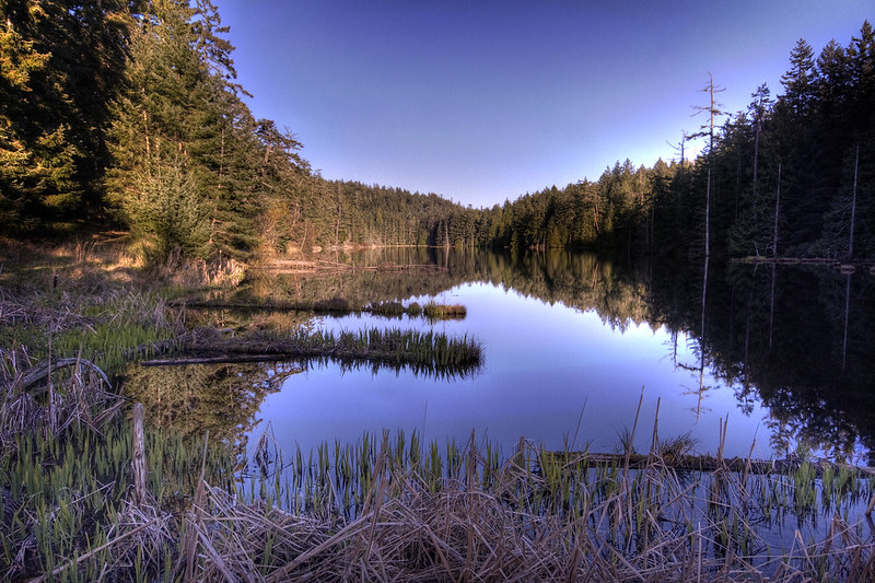 Greenburn Lake
By Greg Bate, Flickr
